WRF Operational System
CONFIGURATION
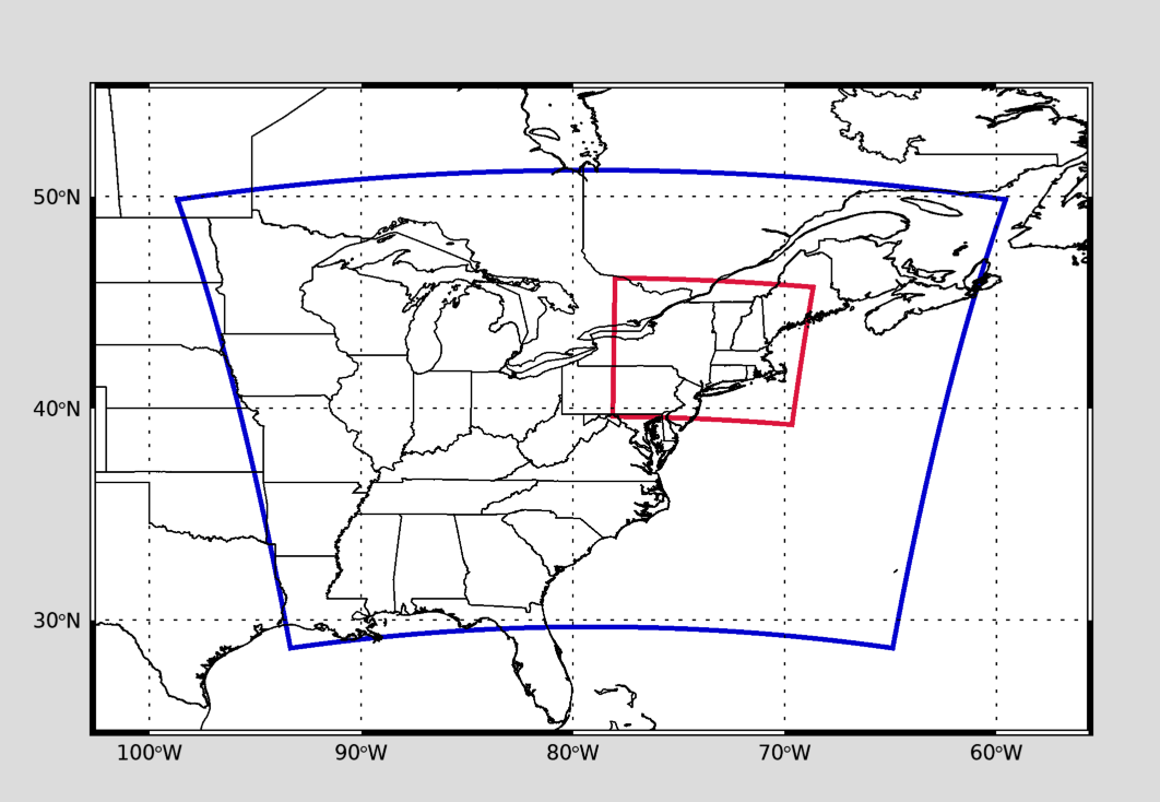
| Coarse Grid | Nested Grid | ||
|---|---|---|---|
| Horizontal Resolution | 12 × 12 km | 4 × 4 km | |
| No. of grid points | 236 × 202 | 183 × 183 | |
| No. of vertical levels | 50 | 50 | |
| Upper limit of vertical layer | 50 hPa | 50 hPa |
MODEL VERSION
WRF-ARW 4.2.2
INPUT DATA
Atmospheric and SST data: NCEP/GFS for lateral boundary and initial conditions (0.25 × 0.25 degree)
Land use, soil and topography: horizontal resolution of 30×30s, defined during the WRF pre-processing stage.
OUTPUT
Maps of forecasted fields are shown for the Coarse Grid (Eastern US) and the Nested Grid (Northeast US).
Five-day forecasting fields: